For planning only – not suitable for navigational purposes
Understanding Darwin Tidal Currents and Their Impacts
Darwin Tidal currents are a fundamental aspect of navigation in the Top End, significantly influencing both sailing and fishing activities. These currents are primarily caused by the gravitational pull of the moon and the sun, which create variations in water levels and flow patterns. In the Darwin region, particularly around the Timor Sea and the Arafura Sea, understanding these tidal currents is essential for mariners to ensure safe and effective passage.
The significance of tides in relation to tidal currents cannot be overstated. Tides change roughly every six hours, resulting in varying strengths and directions of currents. Mariners must pay attention to these changes, as currents can shift from a strong incoming tide to a robust outgoing tide within short periods. Recognising the timing of high and low tides helps in predicting the behaviour of tidal currents, which can be particularly strong near estuaries and coastal inlets.
🌊 Spring and Neap Tides
🗺 Sailing Routes & Fishing Spots
Throughout the course of the day, the flow of tidal currents in the Darwin region exhibits considerable variation. For example, during the spring tides, which occur during the new and full moons, currents may reach their peak intensity, presenting challenges for navigation. Conversely, neap tides, occurring during the first and third quarters of the lunar cycle, produce weaker currents, offering more favourable conditions for mariners. By understanding these patterns, those navigating the coastal waters can plan their activities to avoid potentially hazardous situations.
Effective navigation in the Darwin region relies heavily on awareness of tidal currents and their impacts. Mariners must evaluate how these currents may affect their sailing routes and fishing spots. Knowledge of local conditions, combined with an understanding of tidal patterns, will enable safe passage and enhance the overall maritime experience in this dynamic environment.

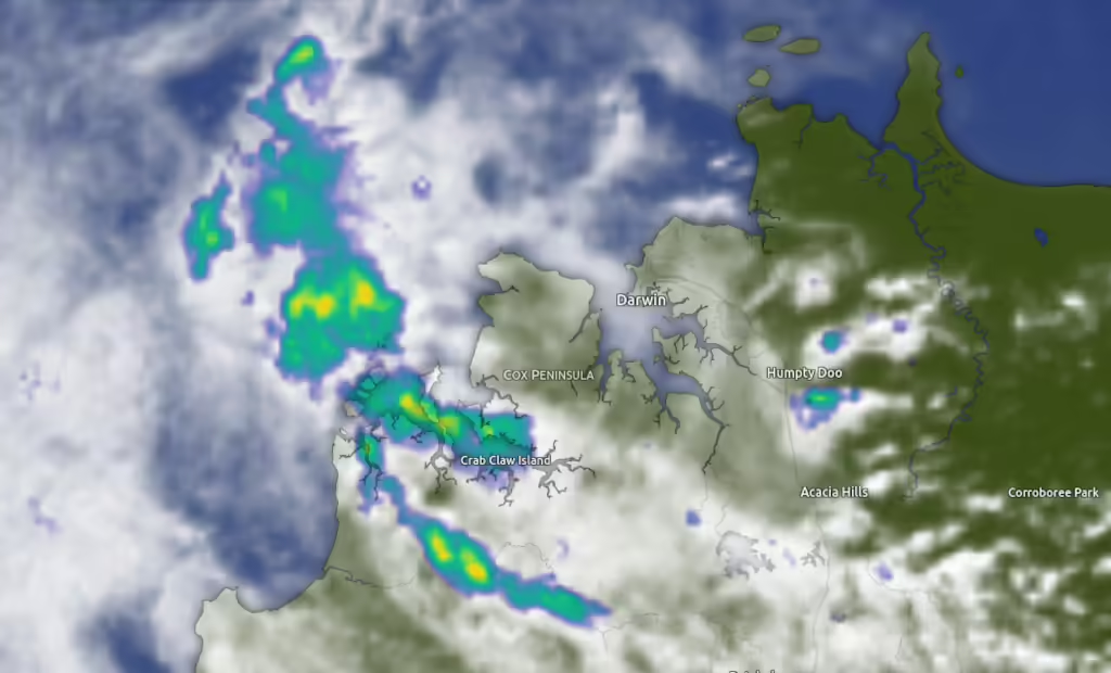
⛈ Weather Radar Live Map
Check out the Live Weather Radar Map, zoom in and get a close up view of conditions on and off shore.
🧭 Navigational Tools
🚨 Emergency Beacon
While modern navigation technology is invaluable, traditional navigation tools must not be underestimated. A reliable compass, for instance, remains an essential instrument, offering a fundamental means of orienting oneself in unfamiliar waters. It serves as a backup system should electronic devices fail or become unreliable. Moreover, charts and nautical publications detailing the Northern Territory’s waterways can provide crucial insights into local conditions and navigational hazards.
In addition to personal tools, online resources are available to aid in trip planning and preparation. For example, Darwin Tides Top End Ports page offers up-to-date information on tide movements and local conditions, making it an invaluable resource for navigating Northern Territory waters. Furthermore, the interactive port finder map helps sailors understand the geography of the area, ensuring a well-informed approach to their journeys. By utilising a combination of technology and traditional navigation methods, mariners can enhance their safety and enjoyment while exploring Northern Territory’s aquatic landscapes.
For mariners operating in the Darwin region, a variety of navigational tools are indispensable for ensuring safe and efficient sailing. Among these tools, GPS (Global Positioning System) stands out as a primary resource. This technology provides real-time positioning and aids in charting a course, allowing sailors to navigate with great precision. The importance of ensuring that GPS devices are updated with the latest maritime charts cannot be overstated, as inaccuracies can lead to dangerous miscalculations.
In addition to GPS, VHF (Very High Frequency) radios play a critical role in maritime communication. These radios enable sailors to maintain contact with shore stations and other vessels, facilitating the exchange of vital information regarding current weather conditions, navigational hazards, and tidal currents. Mariners should also be familiar with the proper usage of VHF radios, including emergency protocols, to enhance safety during their voyages.
When navigating the waters of the Northern Territory, particularly in the Darwin region, mariners must prioritise safety to ensure enjoyable and secure outings. The unpredictable tidal currents of the Timor and Arafura Seas can present significant challenges, making it crucial for sailors and fishermen to be well-prepared. One of the primary safety measures is to equip vessels with emergency beacons. These devices are vital during distress situations, as they transmit location signals to emergency services, facilitating a swift rescue operation. Having a Personal Locator Beacon (PLB) on board is essential for every mariner, particularly for those who venture into remote areas.
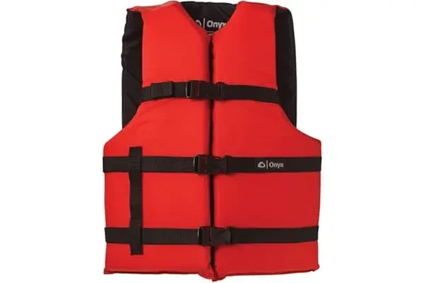
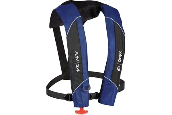
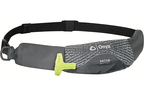
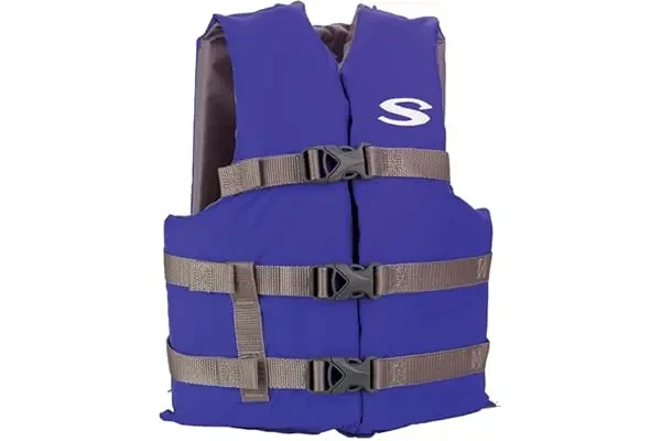
🛟 Flotation Devices
⚠️ Man Overboard Rescue
Flotation devices are another critical component of maritime safety. Coastguard regulations specify that all onboard must wear appropriate life jackets while sailing or fishing. It is advisable to choose life vests that are comfortable, buoyant, and suited to the specific activity, as this will encourage consistent use in emergency situations. In addition to life jackets, mariners should have additional flotation gear readily available on their vessels to assist anyone who might find themselves overboard.
Investing in man overboard rescue systems can make a significant difference during emergencies. These systems typically include throwable devices and rescue ladders, which facilitate quick recovery of individuals from the water. Regular drills and familiarisation with the equipment can enhance mariners’ confidence and effectiveness in actual emergencies. Finally, adherence to safety regulations is paramount. Familiarising oneself with local guidelines and best practices not only fosters individual safety but also promotes a culture of responsibility among the boating community. By integrating these safety products and measures into their routines, mariners can significantly reduce risks and enjoy their time on the water with peace of mind.
Safety and Emergency Gear
View More Safety and Emergency Gear
🐟 Fishing and Sailing
⛵ Charters and Excursions
The Northern Territory, particularly the Darwin region, offers an exceptional environment for both fishing and sailing enthusiasts. To fully optimise your experience, it is essential to consider various factors that can significantly impact your outings on these azure waters. Ensuring that you choose the right time for your excursions will greatly enhance your chances of a successful fishing adventure or a smooth sailing experience.
For fishing, the dry season from May to October is ideal, as the water temperature is conducive to an abundance of fish species, including barramundi, which is highly sought after by local anglers. During this period, fish are more active, making it an advantageous time for both novice and experienced fishermen. In addition to seasonal timing, identifying prime locations is crucial. The waters surrounding the Darwin Harbour and the nearby islands such as the Charles Point and Elcho Island are known for their rich marine life.
In terms of organised tours and charters, several local companies provide guided fishing excursions that can cater to various preferences and skill levels. These charters often include equipment and knowledgeable guides, thereby increasing your chances of a fruitful catch. On the other hand, if sailing is your passion, consider joining sailing clubs that offer charter services for both day trips and longer voyages. Such services are particularly beneficial in navigating the complex tidal currents prevalent in the region.
Moreover, monitoring sea temperature and current conditions is essential for ensuring both safety and effectiveness in your pursuits. Utilising reliable local weather resources and tide tables can inform you about potential challenges in the water. Ultimately, whether your goal is to reel in the perfect catch or sail through stunning landscapes, being well-prepared will lead to a rewarding experience in the Northern Territory’s magnificent waters.
Summary
Navigating the Top End requires a precise understanding of the Darwin Tidal Currents that surge through the Timor and Arafura Seas. This interactive map provides Real-Time Flow Data, allowing mariners to track powerful Spring Tides and calmer Neap Tides with ease. By integrating live visualisations with essential tools like GPS and VHF radio, sailors and fishos can anticipate shifting conditions. Prioritising Safe Navigation ensures every journey remains secure while exploring the Northern Territory’s dynamic coastal waterways.

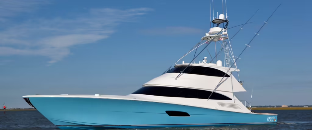
Sailing Around Darwin
Discover why sailing around Darwin is the best way to see the Top End. Learn the ropes, the best cruises, and, of course, where to grab a well-earned ice cold frothy at the end of the day.
Latest Marine Forecasts


🛫 Cheap Flights to Darwin
Limited Time Deals


When you buy through the darwintides.com website, you can take full advantage of eBay’s great benefits and features, including WorldWide Free Shipping on many items and a 30 Day Money Back Guarantee (Ts & Cs apply).
Visit the Darwin Tides Shop for More Fishing, Boating and Marine Supplies!