Weather Radar Darwin Interactive Live Map
Detailed live interactive marine weather map and up to date information for sailing & fishing in Darwin, Northern Territory, Australia.
For planning only – not suitable for navigational purposes
Introduction to the Darwin Weather Radar
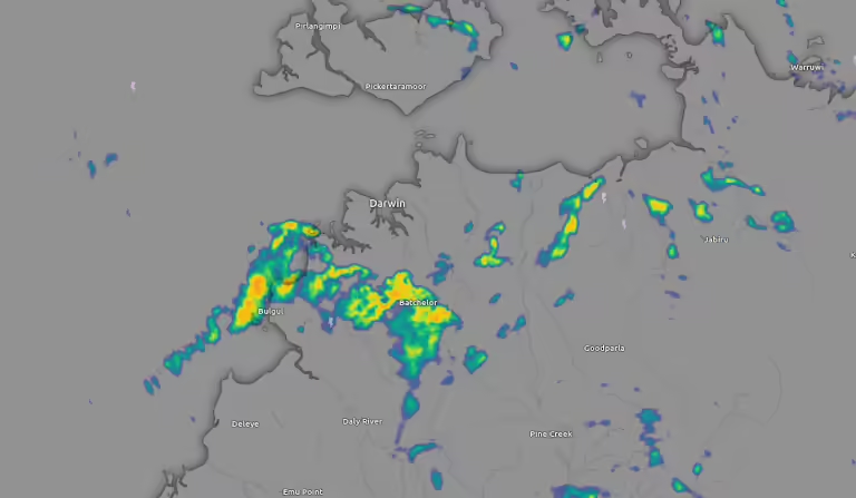
The Darwin Weather Radar Interactive Live Map is a pivotal tool for individuals engaging with the vast maritime environments of the Northern Territory. Particularly valuable for yacht owners, fishermen, and sailors, the radar provides essential real-time data that is crucial for safe navigation across the Arafura and Timor Seas. Utilising this interactive live map can significantly enhance situational awareness, allowing users to make informed decisions while at sea.

This weather radar offers a variety of features, including accurate updates on weather conditions such as rainfall intensity, wind speed, and storm tracking. Its ability to deliver real-time data is especially pertinent for those whose activities are inherently linked to changing weather patterns. With the unpredictable nature of marine weather, having access to timely information can mean the difference between a successful voyage and a perilous situation.
In addition to weather updates, the Darwin Weather Radar Interactive Live Map also incorporates tide information, which is crucial for navigation. Understanding tide patterns is essential for avoiding hazards such as sandbanks and rocky outcrops, particularly in shallow waters where these dangers are prevalent. By integrating tide data with other weather-related information, mariners can better plan their journeys, ensuring they are aware of the optimal times to set sail or return to shore.
Moreover, the user-friendly interface of the radar allows for easy access to vital data, making it an indispensable resource for both seasoned sailors and novices alike. The Importance of real-time navigation tools cannot be overstated, as they play a crucial role in enhancing safety and improving the overall experience of maritime activities in the Northern Territory’s blue waters.

Sailing Around Darwin
Discover why sailing around Darwin is the best way to see the Top End. Learn the ropes, the best cruises, and, of course, where to grab a well-earned ice cold frothy at the end of the day.
Understanding Local Weather Conditions
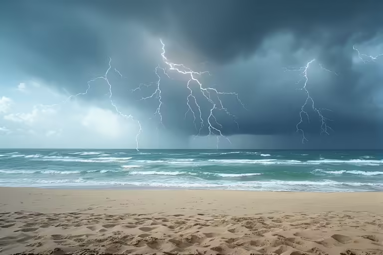
Understanding the local weather conditions in the Northern Territory is crucial for anyone planning to engage in sailing or fishing activities. The unique climatic characteristics of the Darwin region can significantly impact water-based excursions, making it essential to stay informed about wind speeds, visibility, and sea temperatures. Each of these elements plays a vital role in determining the safety and success of outings on the water.
Wind speed is a fundamental factor that affects both sailing and fishing in the region. Strong winds can create challenging conditions, particularly for small boats, while calmer winds are more conducive to pleasant sailing experiences and enhanced fishing opportunities. It is advisable for mariners to monitor wind forecasts closely. The Darwin Weather Radar Interactive Live Map offers real-time updates that help users anticipate wind changes, allowing for more strategic planning and safer trips.
Visibility is another critical aspect of local weather conditions. In the Northern Territory, fog and heavy rainfall can significantly reduce visibility, creating hazards for vessels navigating the waters. Fishermen and sailors should regularly check visibility reports to avoid potential accidents. The live radar technology provides updated information regarding visibility levels, enabling users to make informed decisions about when to set out or delay their journeys.
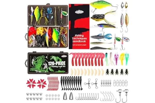
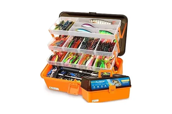
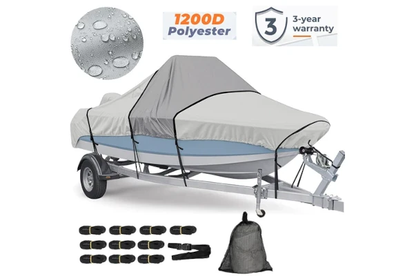
Safety and Emergency Gear
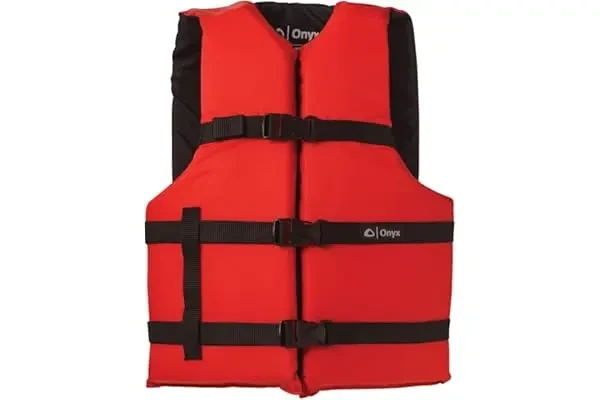
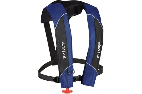
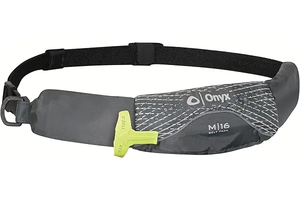
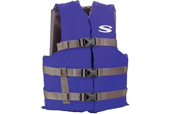
View More Safety and Emergency Gear
Influencing Fishing Success
Sea temperature also influences fishing success, as certain fish species thrive in specific temperature ranges. Understanding local sea temperature patterns can help anglers determine the best times and locations for their fishing expeditions. By taking into account real-time sea temperatures provided by the weather radar, fishermen can optimise their chances of a successful catch.
Before embarking on any journey, it is imperative to check live weather updates. This practice helps ensure not only the safety of all boaters and anglers but also maximises the likelihood of productive outings. With the Northern Territory’s dynamic weather patterns, staying informed is key to a rewarding experience on the water.
Tides and Currents: Key Considerations for Mariners
Understanding tides and currents is crucial for yacht owners and fishermen navigating the waters of Darwin. The Northern Territory’s marine environment is heavily influenced by its dynamic tidal patterns, which can significantly affect navigation, fishing locations, and sailing strategies. The tidal ranges in Darwin can vary dramatically throughout the lunar cycle, resulting in either extremely high or low water levels. Familiarising oneself with these changes allows for better planning and improved safety on the water.
For mariners, one of the key factors to consider is the timing of high and low tides. During high tide, access to certain areas might be improved, allowing for better manoeuvrability, while low tide may reveal shallow waters and submerged hazards. It is imperative for yacht owners to consult tidal data regularly, as it provides vital information on when to set sail and the safest routes to take based on current conditions. By leveraging the information provided through the Darwin weather radar interactive live map, sailors can easily access real-time data regarding tide patterns to optimise their journey.
Fisherman’s Knowledge
Additionally, currents in the region can greatly influence navigational decisions. Strong currents may be experienced during particular tides and can dictate the speed at which vessels travel. Fishermen can benefit significantly from this knowledge; knowing the current patterns in relation to fishing hot spots can lead to increased success when targeting specific fish species. Moreover, aligning fishing times with tidal shifts may enhance yield, as certain fish tend to be more active at specific times based on tidal movement.
Incorporating tidal and current information into navigation planning not only enhances overall boating experiences but also promotes safety on the water. Therefore, understanding tide and current dynamics is essential for effective mariner decision-making in Darwin’s waters.
Safety Tips and Local Port Information
When navigating the waters around Darwin, it is crucial to prioritise maritime safety, especially given the dynamic weather patterns characteristic of the Northern Territory. The Darwin weather radar interactive live map serves as an essential tool for mariners, providing real-time updates on weather conditions that can significantly impact sea activities. By regularly consulting this resource, yacht owners and fishermen can make informed decisions, ensuring their safety while exploring the region’s waters.
One of the key safety tips involves being aware of local weather updates. Unexpected changes in weather can introduce hazards such as gusty winds, sudden storms, or reduced visibility due to fog. Utilising the interactive live map grants access to information on wind speeds, rainfall, and temperature changes, allowing mariners to better plan their outings. It is also advisable to establish a pre-departure checklist that includes resources such as navigation charts and emergency equipment, ensuring that you are well-prepared for any situation that may arise.
Staying Informed
In addition to monitoring weather conditions, understanding local port information is vital. Darwin provides several accessible ports equipped with facilities suitable for various maritime activities, from fishing to recreational sailing. Familiarity with these ports can help sailors gauge where to dock or refuel safely. Many of these ports offer guided tours for those wishing to experience the stunning coastlines and waterways of the Northern Territory. These tours not only provide adventure but also an opportunity to learn about the region’s marine environment and local wildlife.
In conclusion, staying informed about the Darwin weather and utilising the interactive live map for maritime safety can significantly enhance the experience of those navigating the area. By keeping these safety tips in mind and knowing the local port information, sailors and fishermen can confidently venture into the waters of Darwin, ensuring enjoyable and secure sea adventures.

Million Dollar Fish
G’day, fishos and adventure seekers! If you’ve ever dreamt of landing a monster barramundi and walking away a millionaire, Darwin’s Million Dollar Fish competition is your golden ticket.
Latest Forecasts


Don’t Miss these Great Deals for Darwin Tides Readers from our eBay Partners
Limited Time Deals