Detailed Darwin sea temperature map and the latest information for sailing & fishing in The Northern Territory, Australia.
For planning only – not suitable for navigational purposes
Understanding Sea Temperature in the Darwin Region: A Guide for Yachters and Fishermen
Understanding Darwin sea temperatures is crucial for yacht owners and fishermen in the Top End, where marine conditions are dynamic and can significantly affect both activities. Sea temperature plays a vital role in determining fish behaviour, influencing their feeding patterns, migration routes, and spawning activities. Warmer waters often encourage fish to move deeper or seek cooler areas, while cooler temperatures can lead to increased activity near the surface. Thus, knowledge of these temperature variations can enhance the chances of a successful catch for fishermen and contribute to effective fishing strategies.

Furthermore, sailing conditions are heavily impacted by sea temperature. The temperature of the water affects wind patterns, which are vital for sailing yachts. For instance, warmer water tends to create less stable air masses, resulting in lighter winds. Conversely, when the sea is cooler, a more established wind pattern can provide sailing enthusiasts with optimal conditions for navigation. By monitoring sea temperature, yachters can plan their voyages more effectively, ensuring safety and performance while at sea.
Additionally, maritime safety is closely linked to sea temperature. Water temperature can influence the occurrence of certain weather phenomena, such as cyclones or changes in current patterns. Recognising these patterns allows yachters and fishermen to make informed decisions, reducing risks while at sea. Staying abreast of sea temperature updates also means being prepared for sudden changes, which can greatly enhance both safety and the enjoyment of the maritime experience. In summary, a comprehensive understanding of sea temperature not only contributes to better fishing and yachting outcomes but also plays a critical role in ensuring the safety and well-being of all maritime activities in the Darwin region.
Navigational Tools and Resources for Safe Maritime Activity
Navigating through the Arafura and Timor Seas requires an understanding of various navigational tools and resources that ensure safety and effectiveness for both yachters and fishermen. Among these, the Darwin tides sea temperature map is particularly crucial. This map provides critical insights into sea temperature variations, which can significantly affect local marine life and fishing conditions. Familiarising oneself with accurate sea temperature data can enhance the chances of a successful outing, whether one is pursuing specific fish species or simply enjoying leisure sailing.
Another essential tool for safe navigation is a Global Positioning System (GPS). GPS technology offers real-time tracking, allowing users to precisely determine their location and navigate accurately to their desired destinations. Modern GPS devices often include features such as waypoint marking and route planning, which are invaluable for avoiding hazards and optimising travel routes. Utilising GPS ensures that yachters and fishermen can traverse these waters with greater certainty.
VHF radios are also vital pieces of equipment for effective maritime communication. They allow for quick coordination with other vessels as well as communication with local authorities in case of emergencies. Maintaining a reliable VHF radio ensures that yachters can receive timely updates on weather conditions, navigational warnings, and other essential communications that are crucial for safety on the water.
Additionally, traditional tools such as compasses should not be overlooked. Despite advances in technology, a reliable compass remains an effective backup for navigation, especially in regions where electronic systems might fail. Furthermore, mariners should always have additional resources at hand, such as nautical charts, tide tables, and marine weather forecasts, which provide a comprehensive view of the maritime environment. Harnessing these navigational tools and resources enhances safety and reinforces the necessary precautions for successful exploration of the stunning Darwin region.
Weather and Environmental Factors Affecting Sea Activity
The intricate relationship between environmental factors and sea temperature plays a crucial role in determining maritime activities in the Darwin region. Key elements such as tides, wind, currents, and visibility can significantly influence fishing and sailing expeditions, and an understanding of these interactions is essential for successful outings.
Tides, driven by the gravitational pull of the moon and sun, affect sea levels and can create varying conditions for fishing and navigation. In Darwin, semi-diurnal tides result in two high and two low tides each lunar day. Therefore, yachters and fishermen must consider tidal patterns when planning their activities. Low tides often expose flats and reefs, whereas high tides allow for easier access to deeper waters where fish are more abundant. By monitoring tidal movements, individuals can optimise their chances of a successful outing.
The Wind Factor
Wind is another critical factor that affects sea temperature and maritime activities. The prevailing winds in the Darwin region can vary throughout the year, impacting water surface conditions. Strong winds may result in rough seas, which can deter yachting safety. Conversely, gentle breezes create pleasant sailing conditions. Fishermen also need to factor in wind direction, as it can influence where fish are likely to be found, as certain species are known to thrive in specific wind orientations.
Currents also play an important role in determining sea temperatures. The interaction between warm and cold currents can lead to variations in local sea temperatures, thereby affecting fish behaviour and distribution. Fishermen should study current patterns, as they often dictate where bait fish gather, ultimately attracting larger predatory species.
Visibility, impacted by weather conditions like rain or fog, is essential for safe navigation and effective fishing. Poor visibility can lead to accidents and hinder a yachter’s ability to spot navigational aids or other vessels. To maximise safety and success in their pursuits, it is advisable to attentively check weather forecasts and visibility reports prior to departing.

Sailing Around Darwin
Discover why sailing around Darwin is the best way to see the Top End. Learn the ropes, the best cruises, and, of course, where to grab a well-earned ice cold frothy at the end of the day.
Safety Measures for Yachters and Fishermen
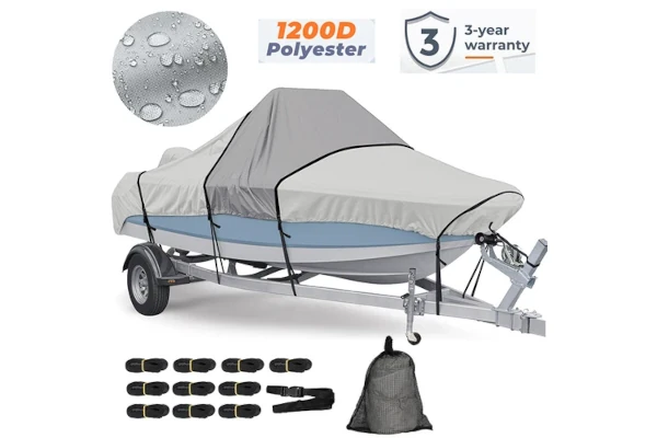
Ensuring safety while navigating the waters of the Darwin region is paramount for both yachters and fishermen. Given the dynamic nature of the sea temperature and its potential impact on marine conditions, preparation is essential for a safe experience. One of the primary safety measures is the use of emergency beacons. These devices enable quick communication with search and rescue teams should an emergency arise, ensuring that help is accessible in critical situations. Yachters are strongly encouraged to maintain a properly functioning beacon on board at all times.
Flotation devices also play a significant role in personal safety. Each individual onboard should wear a life jacket that is suitable for the conditions. Flotation aids not only increase survival rates in the event of an accident but also provide peace of mind for those navigating unfamiliar waters. Additionally, yachters should ensure that they have various flotation devices available for passengers, particularly children, who may be more vulnerable. Regular maintenance of these safety devices is crucial to guarantee they function correctly when needed.
Safety and Emergency Gear
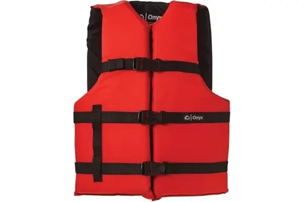
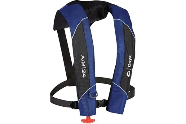
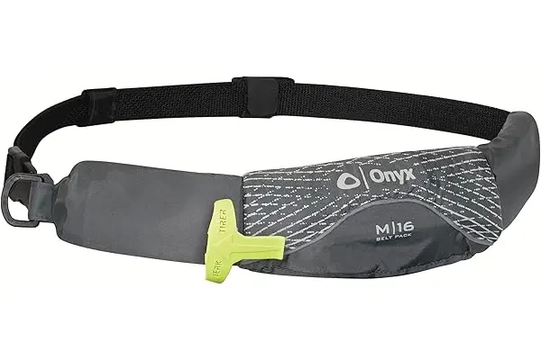
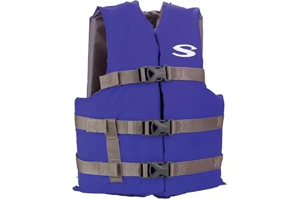
View More Safety and Emergency Gear
Moreover, implementing a man-overboard rescue system is highly advisable. In the event someone falls overboard, having a pre-established plan that includes designated rescue gear can facilitate a prompt and efficient recovery. This could involve the use of life rings, rescue lines, or specialised equipment designed for this purpose. Training all crew members in these procedures ensures that everyone understands their role in a potential emergency.
Finally, understanding weather patterns and sea temperatures is critical. Vigilant observation of marine forecasts and preparation for sudden weather changes are essential parts of ensuring a safe journey. Being proactive through collaboration and conducting regular safety drills can significantly mitigate risks, allowing yachters and fishermen to fully enjoy the rich marine life and picturesque landscapes of the Northern Territory’s waters.
Latest Forecasts


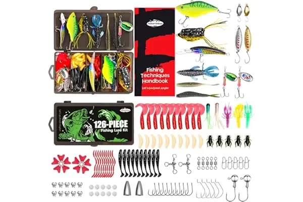
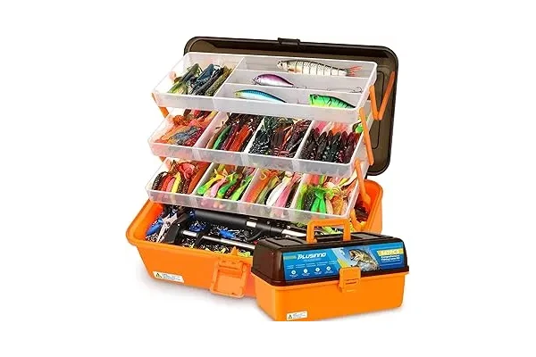
Don’t Miss these Great Deals for Darwin Tides Readers from our eBay Partners
Limited Time Deals

View More in the Darwin Tides Shop

Million Dollar Fish
G’day, fishos and adventure seekers! If you’ve ever dreamt of landing a monster barramundi and walking away a millionaire, Darwin’s Million Dollar Fish competition is your golden ticket.